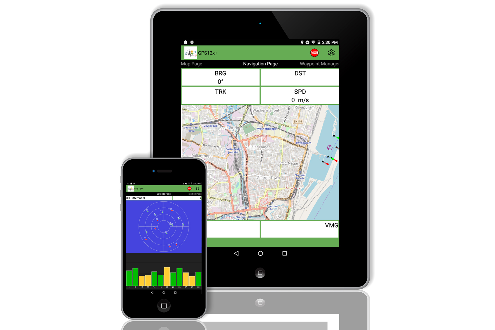
Become a smart mariner now and experience the power of advanced navigation and positional information with MysmartGPS12X+. The 12X+ comes with open sea maps with the ability to input symbols and way points by the users. Users can also use its built in GUI for navigation guidance to your point of interest or destination.
For a fraction of the cost of an Hardware based Marine GPS enjoy the new world smartnav GPS connected ship experience everyday with MysmartGPS12X+ (when in 3G/4G coverage area). MysmartGPS12X+ is a powerful geo information hub that keeps the navigator informed of position, way points to go to and other safer navigation tools including weather information – a feature not available in any hardware GPS. MysmartGPS12X+ delivers valuable information, to the navigator harnessing the power of mobile smartphone computing and communications with the best of GPS & A-GPS* to bring greater accuracy than normal hardware based GPS devices.
OpenSeaMap provides seafaring maps with nautical and tourism information that would interest sailors. This includes beacons, buoys and other seamarks, port information,repair shops, ship supplies and much more, …..